In this year-end roundup series, Petir.sg looks back at key moments of 2022.
Look around. Take in Singapore’s cityscape. Whether you’re doing so while travelling down a thriving highway, in the downtown heart of the city or in the quiet solace of your own suburb, this is true: none of this was put here by chance.
Long-term urban planning is a Singapore hallmark. Here, the Government decides how best to use Singapore’s land and build our city given evolving trends and demands.
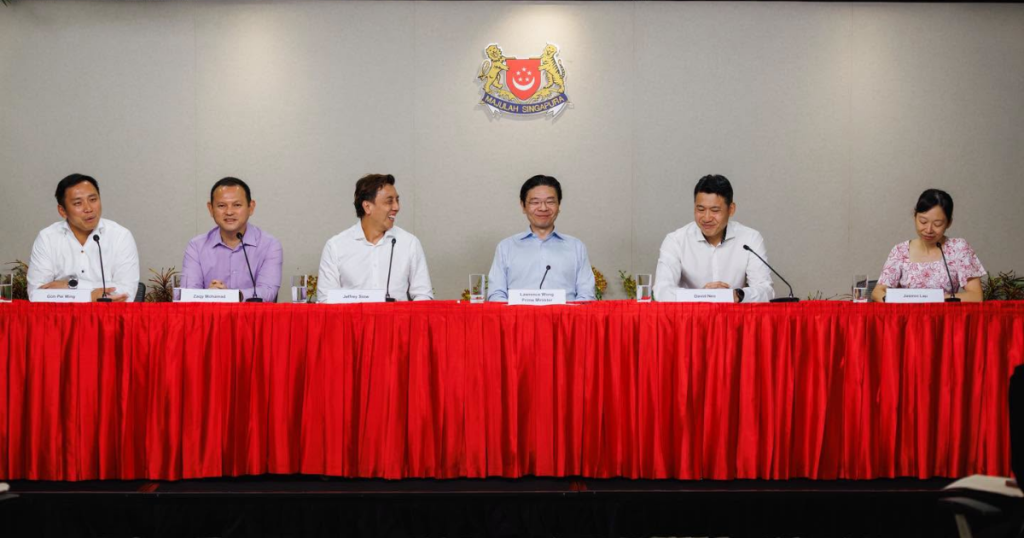
On Jun 6, Minister for National Development Desmond Lee launched the Long-Term Plan Review Exhibition at the URA Centre. This ongoing exhibition, titled Space for Our Dreams, features the Government’s plans for Singapore for the next 50 years and beyond and incorporates feedback from over 15,000 members of public and industry.
Featuring in the Long-Term Plan Review: underground expansion, a city with green and blue spaces and five distinct Identity Corridors.
Identity Corridors
These five Corridors preserve and enhance what’s unique along well-loved stretches of Singapore.

The Rail Corridor along the former Singapore-Malaysia railroad is a nature and heritage trail, for example. And the Coast and Southern Ridges from Marina Bay to Keppel Harbour is a 10km coastal promenade.
Similarly, the Thompson-Kallang corridor incorporates the flora of Woodlands and Thompson with the Kallang River.
And both the Inner Ring and Historic East Corridors are urban neighbourhood-centric ones. They showcase Singapore’s heritage along Zion to Balestier and Joo Chiat to Geylang Serai respectively.

“So even though we look forward to progress, we also are sentimental and want to find our way around, be familiar with our surroundings, and have those familiar things that we’ve grown up to love,” said Minister Lee.
Underground expansion
This helps with giving everyone adequate space.
“Take the Jurong Rock Caverns and Underground Ammunition Facility for example,” said Minister Lee of these two completed projects.
“These two underground cavern facilities collectively freed up around 360 ha of surface land for other purposes.”
So the Government will keep locating transport infrastructure and major utility facilities underground where feasible.
Automated industrial facilities might go below ground too.
Reclaiming land along Tuas and shifting our ports there free up space to build the Greater Southern Waterfront too.

A City in Nature
“We must make this a special city, a green city that is surrounded by beautiful waterways,” said Minister Lee.
A science-based Ecological Profiling Exercise (EPE) guides these ecological efforts.
Minister Lee used the example of the upcoming Khatib Nature Corridor which will strengthening ecological connectivity between the Central Catchment Nature Reserve and the future Khatib Bongsu Nature Park.
“Informed by the EPE findings, we will retain significant biodiversity-sensitive areas,” he said.
“We are working with ecologists and landscape architects to calibrate our designs and phase developments, in order to maintain ecological resilience and minimise habitat loss.”

Areas in Lim Chu Kang, Kranji and Seletar have also been earmarked as potential ecological corridors in the future.
The Springleaf area will be masterplanned to live up to its name as well. Ecologists and landscape architects are being consulted to keep it biodiverse.
“We believe this approach will help Singapore continue to be a City in Nature – a home where both people and nature can thrive, side by side,” said Minister Lee.